Sunday, August 30, 2015


Brooks Peninsula, Checleset Bay & Kyuquot Sound

1. Columbia Cove
2. Bunsby Islands
3. Walters Cove
4. Rugged Beach
5. Blue Lips Cove

Columbia Cove via Brooks Peninsula; August 6th to 10th  

The best time to do major crossings and rounding’s is early morning.  This is what weather forecasts consistently stated and what locals had shared with us:  Wind typically calm at night and build during the day. Brooks Peninsula, like Nahwitti Bar and Cape Scott, comes with a reputation for a difficult rounding.  With its high mountain range and jutted-out position from Vancouver Island, it creates its own current and weather system.  It can be calm and blue skies all around, yet blowing hard and raining on the 30 miles of The Brooks.  

Listening to the weather forecast Sunday evening, it sounded like the next two days – Monday and Tuesday – would be ideal for passage:  a 15 – 20 knot wind in the morning and low to moderate swell.  The Pacific swells can be 3 – 6 feet alone, so it’s easy to have 10-foot seas with a 15-knot wind.  

We set the alarm for 5:30 a.m. the next day, rising to sunshine and clear skies.  Happily, we bid Winter Harbour farewell, planning to spend Monday evening at Forevergreen Cove or Klaskino Anchorage.  We’d then make our passage on Tuesday morning. 

The Pacific swells were pushing the boat along as we set out.  We put out 50% of our mainsail and staysail to add stability, anticipating we’d be able sail sometime during the crossing.  We turned on the radio and listened to the forecast.  There were lots of fishing boats, most of which were from Winter Harbour, trolling the area, few of which appeared on our radar.  The skies were clear and we had little to no wind.  The sea had turned to glass:  Not the 15 – 20 forecasted that morning.  A good forecast in hand, we decided to keep going. 

Of course, shortly after making that decision, true to its micro-climate reputation, the skies clouded up and we could see a fog bank in the distance.   We knew we could still duck in if we needed to, but as we approached, the wind became lighter and became completely calm.  We passed Cape Cook and the east side of Solander Island.  The say on calm days one can actually go between the mainland coast and Solander Island, but we weren’t going to press our luck.  We turned east following the southern coast of Brooks Peninsula into our next anchorage, Columbia Cove under blue skies and sunshine. 


Brooks Peninsula in the distance

Solander Island at the tip of Brooks Peninsula

Solander Island is a weather station referred to in the daily forecasts. You can see the unmanned weather station on its summit


Columbia Cove, in Checleset Bay, is a well-protected inlet in the NE corner of the Brooks Peninsula.  Very shallow and small, we wondered how three to four boats could share the inlet as suggested in the Waggoner’s Guide.  Tired, we relaxed and enjoyed having the entire anchorage to our self:  A first on the west side, typically a fishing boat would show up in the middle of the night but be gone by early morning. 

Columbia Cove, a very sheltered anchorage


Until this trip we were unaware that Vancouver Island had Caribbean-type beaches. We’d experienced one at Hornby Island on Tribune Bay earlier and there are many of them and on the west coast of Vancouver Island.  The difference, however, is that you’ll very likely be the only people on walking on them when you visit. No one else for miles.

Ah the beaches 

We were very fortunate to have the experience of being the only two people on the beach. 

Someone with a sense of humor turned this rock into a smoker?

Typical of many of the beaches we visited. Hard to get to so very quiet.


The Cruising Guide spoke of such a beach just on the outside of Columbia Cove.  Taking the dinghy, we set off to find the trailhead leading to the beach.  Marked by a white buoy, we trekked a short half-mile through a forest 0n a primitive path to the beach. It was spectacular!  A long, fine-grain white sand beach with crystal blue skies was our reward!  We walked down to a rocky outlook toward what looked like a crouching scout hunting in the distance.  We had the entire beach to ourselves:   No other person around.  Well…That didn’t include bears!   Having spent at least an hour looking around, we decided to return to the boat.

Maybe not so alone as we thought. This is a bear print below the tide line so it had visited earlier in the morning.


The return walk through the forest was faster than the one we’d made to the beach, and both of us were happy not to have had an encounter of a bear-kind.
Later that afternoon, a 42’ powerboat, Rampage, entered our hideaway Cove.  Three generations were aboard:  Grandfather, two sons, and what we assumed was his grandson.  The grandfather thanked us for our help telling him where the shallow areas were and asked us if we’d like some salmon.  We said, “Yes,” and a few minutes later, the grandson, life jacket in place, rowed it over to us in their dinghy! 

Salmon delivery by 7 year old Charlie


Since we have five grandchildren, we were pretty pleased to see this little guy out in that dinghy by himself.  Clearly, he’d spent lots of time on the water and was pretty proud of having “his own boat.”  Pat thanked him for the fish, found out his name was Charlie, that he was seven years old, had been fishing for four days with his family, had caught at least one fish and was from Vancouver.  We later saw him jump in the water and swim like a fish.  That moment reminded us of our own family that was gathering that weekend on the beaches of California.  We wished we could be there, but watching Charlie make us smile.
Reluctant to leave Columbia Cove behind, we pulled anchor.  Rampage had left earlier that morning to continue fishing, and we were going to move down the coast toward Scow Bay in the Bunsby Islands.
Our next stop was only seven miles away and go exploring.  Checleset Bay is a popular spot for kayaking with lots of protected coves and inlets to explore. Not long after we set our anchor, we had the kayaks in the water and set out. 

Again, we thought we had the entirety of Scow Bay and the Bunsby’s to ourselves.  No sooner had I said that, that I heard voices of two kayakers from the opposite end of the bay. They were paddling toward us and we stopped for a conversation.  The couple had taken a water taxi from Walters Cove (aka Kyoquot Cove) and been dropped off on a nearby beach.  They were going to kayak for a week and then be picked up by the same water taxi later at a pre-determined location. This is a very popular method to get to great kayaking locations on the west coast.

It really is a spectacular place to kayak or do anything else for that matter. In the 1970’s, sea otters were reintroduced to the Bunsby’s.  We read that over 800,000 otters had been hunted in the north-Pacific-coastal waters during the late 1800’s, all but eliminating them.  Today there are a little over 3,000 sea otters in the area, 2,300 of which live in or near these Islands.

Kayaking in Scow Bay 

We used the dinghy to get in and out of the kayaks. Climbing into the kayak from the dinghy was a lot easier than from the sail boat

Clear night and sunset in the Bunsbys
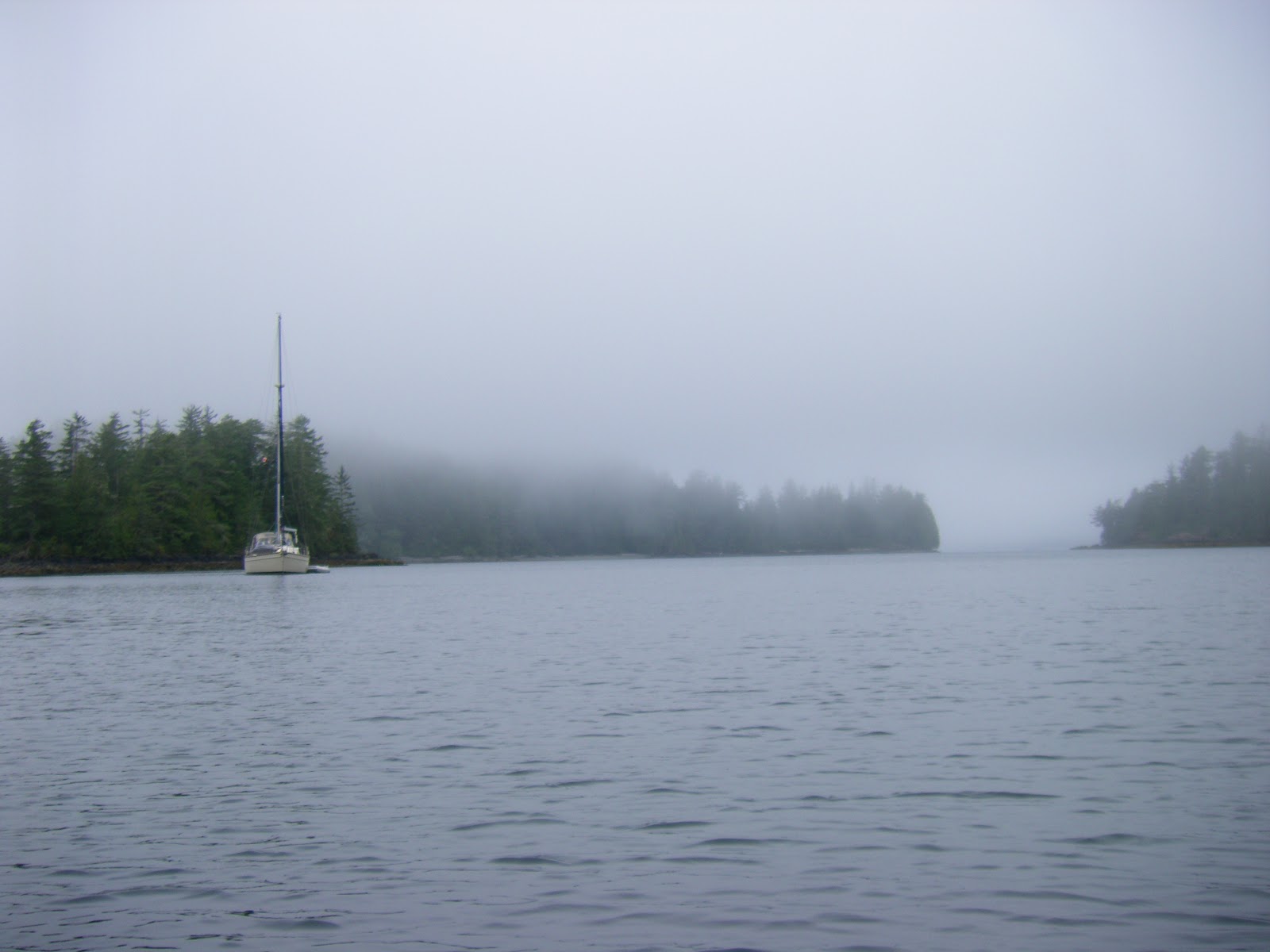
Early morning fog. There are many rocks and reefs passing through Checleset Bay so we had a later start to allow the fog to thin a little.
The local fishermen will tell you not all is charted.


We left the Bunsby’s the next morning, continuing to Walters Cove and the town of Kyoquot shared by two tribal communities.  It had been raining during the night, and that morning we had heavy fog.  We decided to wait a couple of hours for it to clear since the surrounding waters have lots of rocky shoals.  

We departed the Bunsby’s around noon.  The morning fog had thinned somewhat but we both stood watch and were kept on our toes.  We went slow and had only about nine miles to go. The Cruising Guide warned that the entry into Walters Cove could be confusing, a reverse “S” due to reefs. It was really important to follow the red right returning rule.

En rout to Walters Cove with the reefs and rocks close by

Entering Walters Cove. Red and green markers are little confusing first time through because of the reverse S entrance around a couple of reefs


Pat went up to the bow of the boat to watch for the reefs, I kept my eyes on the chart plotter. Its a little like playing a video game with the boat. When we finally entered the harbor, we saw what we thought was the public wharf, only to have a lady come out to the end of the dock and tell us we were headed toward a shallow reef which WASN’T on our chart.  Doing a hard reverse, she pointed us to the wharf on the opposite side of her location, we were relieved to tie up without damage.

The Community of Kyuquot is like stepping back in time.  This community is visited weekly by the MV Uchuck III, which the locals nicknamed the “Upchuck” because of the end result of the regular rough passages. A converted World War II mine sweeper, it keeps many of the west coast communities supplied with day to day necessities. The boat also carries tourists to destinations along its route. A high point of the week is when the boat arrives late Thursday afternoon and people from the surrounding communities line up in their boats or walk down to the pier to pick up their orders.

Once inside the bay it is very protected

The town has no roads and this wood walk way runs around the bay

Looking back into Walters Bay


The local grocery store which is open from 1:00 p.m. – 5:00 p.m. Monday, Wednesday and Friday, is resupplied by the Uchuck III, so the best day to buy groceries is Friday afternoon.  Luckily, a local had warned us that we’d be sharing the dock with the Vessel so we’d moved our board forward accordingly.  We did, however, feel tied up in front of her, but happy to experience her arrival. 
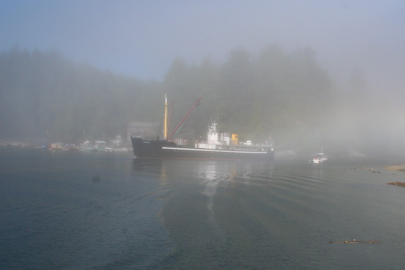
The Uchuck arriving in the fog. Because it operates in any weather year round it got the nick name Upchuck because not all passengers can operate in any weather. 

Tuamotu sharing the dock with the Uchuck. 
This boat is a really big deal to these communities. In many cases it is the only way to get supplies. 
The white tents are for the local market which is set up every time the Uchuck visits which is once a week.


We put our kayaks in the water after all the boat traffic died down Thursday evening, exploring the Indian-reservation side of the shoreline and nearby coves.  Living in these communities, one not only needed a boat, it was a lifeline for fishing, crabbing and going to visit friends.  The pace was relaxed and everyone we met, friendly.  Coffee at “Java the Hut” also supplied limited-satellite-based internet and some excellent blackberry-apple pie.  We finally got our first taste of vanilla ice cream since Nanaimo, making that pie all the more a real treat!
 Ian kayaking in the bay
Pat kayaking


The next morning the Uchuck cast off at 8:00 a.m. sharp, carrying passengers from Kyoquot to their next destination.  After checking out the small grocery store Friday afternoon, we too cast off from the wharf, again leaving in light fog hoping it was clearer outside the inlet.  Rather than take the more scenic and rocky coastline, we agreed to go further out in the Pacific.  As we traveled, the fog lifted.  Turning south again, we headed toward our destination Rugged Point Marine Park and Blue Lips or Dixie Cove (We hadn’t decided which), our next anchorage.

After about an hour-and-a-half motoring – again not enough wind to sail – we pulled into a beautiful cove with two white-sand beaches.  We anchored in about 28’ of water and took the dinghy to go ashore.   We were the only boat again:  No other people.  We found the trailhead to Rugged Point and walked a short distance to the other side.  There was lots of driftwood and Pat found a couple of sand dollars to add to the collection she had harvested in Tribune Bay.
Tuamotu in the distance
Rugged park is a very popular stop but is not recommended for overnight anchorage in all but the most benign conditions
Part of Rugged Park


As we were walking back toward the opposite end of the beach, we saw some tracks that looked pretty fresh and big which we thought were cougar.  After we’d hiked back to where we’d left the dinghy we saw signage of sightings of cougars in this area and read of a 2014 unprovoked attack on a visitor.  .

Healthy Cougar tracks

Even bigger tracks


Rugged Point Marine Park is an exposed anchorage meaning there’s little protection from the wind.  The conditions have to be very calm to comfortably spend the night. There was a Pacific swell getting into the bay and the possibility of North outflow wind in the evening. We decided to seek more protected anchorage in Blue Lips Cove, aka Petroglyph Cove (again, no pictures or etchings found) which was about four miles away.

Pulling anchor around 7:00 p.m, about 45 minutes later we were searching for the entryway which looking at the terrain was difficult to spot.  This cove has a 60’-wide entrance and has a very small bay with steep sides:  Very protected, very pretty, very calm.  Dropping anchor about 8:00 p.m., we relaxed.  If there was any wind out there, we wouldn’t feel it.   

The entrance was narrow and not easy to see but well worth the effort once inside

Anchored securely for the night


Blue Lips Cove was also our jump off point for our trip around to Esperanza Inlet and into Queen Cove, the next leg on our journey south.  As we looked at the calendar, we were surprised and feeling remorseful that we were already six-weeks into our circumnavigation.  The days were passing quickly!  There was still so much to see and it felt like we were rushing, cutting out places we wanted to see so we could return to Seattle by the first part of September.  We made a decision then, we needed to extend our return date.


Around The Top To Quatsino Sound
1. Port Hardy
6. Bull Harbour
7. Nahwitti Bar
8. Cape Scott
9/12 Winter Harbour
10. Julian Cove
11. Winter Harbour


Port McNeill (July 27th -July 29th) to Port Hardy (July 30th - August 1st ):

Just as Port McNeill is a common jump-off point for the Broughtons, Port Hardy is a similarly common jump-off point for the west side of Vancouver Island for heading north to Cape Caution (next year?) and Alaska.  It’s a last chance to pick up overlooked provisions, top off with fuel and water, buy cat food or treats, check email, post our blog, most important, chat with others who have local knowledge or are going the same direction we are or returning from a journey up the west side.  Assessing weather conditions by downloading both the Canadian and Sailmail weather and comparing reports to what we’re actually seeing and experiencing before moving out to Bull Harbour on Hope Island takes lots of time.

The trip to Port Hardy was the roughest to date with 25 knot winds and over six foot seas all in the wrong direction.  It was a relief to finally get tied up to something solid.  Port Hardy is primarily a fishing town.  We hadn’t made a marina reservation before arriving, and the only room at the inn was on the end of the fishing-boat dock.  With all the smells, noise, coming and going of fishing boats and fleets over three nights and days, it was hardly relaxing.  We were joined, however, by a 130’ yacht, “Be Mine” that was on an around-the-world adventure, just coming in from Alaska.  The German owner complimented us on our boat, and we, of course, could only return the favor.  His response, “Yes, it works for us,” and then left with his crew to give them some “R-and-R” time at a local Port Hardy pub.

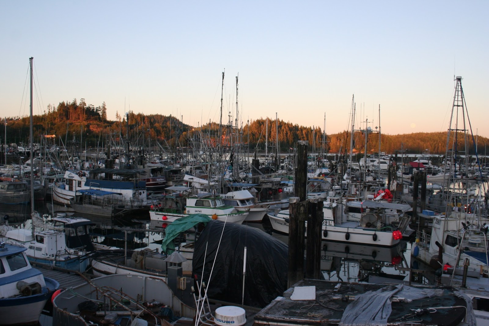
We also had our first exposure with fog on this trip.  It rolled in after sun up and stayed till early afternoon. On our walks into town we were above the fog looking down on the Port Hardy Inlet socked in with the fog. Port Hardy gets far more fishing and power boats than non-fishing sailboat cruisers like us.  We they tolerate but definitely not their primary source of revenue.
Port Hardy main street with fog in the distant bay. It took most of the day to burn off. 
We are out there some where sharing with the fishing boats 
Being a working dock over a few days you can share with all types of boats. The first night was with three sail boats. This night was with a 140' yacht called be mine. The fishing boat in front of ran his generator all night and ran water to flush his fish storage tanks. We sleep in the bow.


Port Hardy to Bull Harbour Hope Island & Roller Bay:  August 2nd to 6th

To get the assist of an outgoing tide and miss most of the day’s fog, which typically came in at about 8:00 a.m., we left Port Hardy at 5:00 am on the 2nd of August.  It was still partially dark and there was a high fog bank with lights and the moon eerily reflecting into the water. Fog can be overcome by using electronics, such as radar and chart plotters.  The real down side to fog is not being able to see landmarks, boats that don’t have radar reflectors and don’t show up on radar, stuff not put on your chart plotter’s charts and of course, the scenery you came to see.  We luckily did beat the fog and followed a fishing boat all the way through Goletas Channel to Bull Harbour.  There was very little tidal flow or assistance.  As it turned out, we probably should have just kept following that fishing boat through the Nahwitti Bar.


After departing Port Hardy in the dark sunrise was a welcome sight in the Goletas Channel


Bull Harbour on Hope Island is where most boats wait to time the crossing of the Nahwitti Bar and align with slack tide out at Cape Scott.  We arrived early thinking we’d get some extra time to familiarize ourselves to conditions, knowing we had at a couple of days before we’d be able to cross the Bar and head south.  We needed slack followed by an ebb tide for crossing:  No current at the Bar and channel, and then a tidal flow ebbing out of the channel and into the ocean.  We also needed enough daylight so we could see what the weather and sea conditions looked like and avoid the gnat-like speedy fishing boats racing across the Bar.  We were hoping for mild wind on our stern rather than on the “pointy end” (bow) of the boat so there wouldn’t be lots of choppy water. 

We filled our time with cleaning and maintenance chores that had been stacking up during our travels.  There’s always something to do on a boat!  Pat cooked; I pulled out the rubbing compound and polished some of the stainless steel on the boat that had become rusty.  We also developed our plan now that we were at Bull Harbor. 

It appeared that either August 5th or 6th would give us our best opportunity for crossing the infamous Nahwitti Bar.  We also had a backup plan to avoid the Bar by circumnavigating Hope Island, or going over to Tatnall Reef on the opposite side of Goletas Channel and hugging the coast line to Cape Sutil.  We listened to the three daily Canadian weather forecasts and checked Sailmail weather, hoping for the wind to change to the Northwest (wind on our stern) instead of Southeast that they kept forecasting.  It had been raining the last couple of days – drenching rain not just a drizzle.  We felt we could handle the rain (after all, we’re from Seattle, which although sunny this year is known for its rainy weather.)

After listening to the 21:35 (8:35 p.m.) weather forecast, we agreed to go out the next morning (Wednesday) and see if conditions were such that we could cross the Bar.  We set our cell phone alarm – chimes - for 4:00 a.m. so we could arrive at the Bar by 5:10 a.m.  I didn’t sleep much, and neither did Pat.  Anticipation and listening to the rain made for sleepless conditions.

We dozed off and on and woke up to a very rainy, moonless, dark morning.  It was raining so hard, we could barely see past the bow of the boat. Fueled by strong coffee, our chart plotter and radar, we slowly motored out of Bull Harbour, into the wider bay and mouth of Bull Harbour.  The rain was pounding down and there were no other boats around – not even fishing boats!  As we approached Goletas Channel, my radar showed a big, bulky “something” on our starboard (right) side.  I remembered only a boat laying down huge 4’ x 4’ x 4’ buoys and cable on the east (right) side of the Channel. When we had arrived at Bull Harbour a crew was laying rope from one side of the entrance to the other it was only a couple of feet below our keel. This was a “What the hell moment” I had no idea how many buoys they had put out or exactly where they were.

Pat ventured outside the cockpit (self-inflating life jacket in place) but couldn’t see what it was.  There were no lights on it, we just knew it was something large in the middle of the channel.  None of the four-foot- floats had lights on them.  It was like playing a video game with half the information.  We’re very rarely nervous sailors because we just don’t take many chances but neither one of us was feeling good about this passage.  Due to the lack of visibility we couldn’t assess the sea state at the Bar.  Prudence prevailed:  Nahwitti Bar was going to have to wait another day.
What we saw in the clear light of the following day. The barge showed up very well on radar the previous morning in the dark and rain
The challenge. We had known they were laying out bouys that were roped together. In the dark and rain we had no idea where they were. We certainly didn't want to run over a rope or net and get it tangled in the prop.
Amazing how the clear light of day helps.


After re anchoring, we rested and decided we needed to do some reconnaissance. We wanted to establish some identifiable landmarks and figure out what the “something” was in the Channel that wasn’t there on the Sunday we’d arrived.

After a nap and some lunch later in the day, we hopped into the dinghy and set out.  Heading out into the bay, which now was sunlit and clear(!), we discovered the “Big Bulky Something” was a barge with a big structure on it:  An Aqua Farm (fish farm)!  We were also able to get a bearing on all the buoys connected by rope and anchored to the bottom. None of this was in place when we entered. The Canadians are avidly restocking their waters with salmon to keep alive both commercial and pleasure fishing.

We also took our dinghy ride to the dock for a walk on the beach of Roller Bay where the surf pounds the rocks round and smooth. A $20 per person landing fee is generally assessed by the local Indian tribe to enter reserve lands:  A common practice on Vancouver Island we’ve discovered.  Hoping to see grey whales which we’d been told were in these waters, we decided to bite the bullet and go ashore.  We spent a nice couple hours’ beachcombing and walking.  We didn’t see any whales, critters (bears or cougar), but did have $40 more in our pocket:  No one was there collecting the fee and there wasn’t a box to leave it.

Anchored in Bull Harbour. This is a very protected anchorage

Walk at Roller Bay

Walk at Roller Bay

The stones are pounded smooth by the Pacific storms

Mandatory selfie on Roller Bay 
Having come 575 miles since leaving Seattle June 24th and sailing for almost twenty years, crossing Nahwitti Bar and rounding Cape Scott was a big deal for both of us. That said, we also want to be “old sailors rather than bold sailors,” a quote shared with us by some other sailors we’d met on the trip.  We agreed:  August 6th was “Do or Turn Around” day.

Slack tide at Nahwitti Bar was at 6:05 a.m. the next morning, August 6th, AND there was one more hour of daylight!  With the intel we’d gained by our dinghy survey the previous afternoon, we both felt confident we could cross the Bar even if it was raining and low visibility.  “Big Bulky Something” and the location of the floats would no longer be a hindrance. 
The three options. Around Hope Island and dont deal with it. The Tatnall Reef rout on the south side of the channel. The traditional straight across the bar rout. We did the latter.


Stoked with coffee, we pulled up anchor in twilight skies with no rain and light wind.  After our less-than-favorable experience the previous morning and all the horror stories of Bar crossings, most of which are true, our crossing of the Bar ended up very uneventful – almost a letdown.   We came out with another sailboat, Noranna, who had shared half a salmon with us the previous day.  Conditions were so calm we couldn’t sail, and instead motored all the way to and around Cape Scott.  It was so calm we forewent waiting to round Cape Scott at slack tide, instead happy for the two-to-three-knots of current to help push us south.

We left an hour later this didnt mean it was daylight. Noranna following us out in the half light  


Just past Sea Otter Cove, our safety harbor we’d planned to come into and spend the night after coming around Cape Scott, the Canadian Coast Guard came over our radio with a “Securite’, Securite’ announcement of gale-force, 40-knot winds south of Cape Scott:  right where we were.  Based on the prevailing weather conditions, our growing distrust of Canadian weather forecasts, and the positive weather data we had from SailMail, we chose to press on knowing there were places we could duck into prior to reaching our preferred anchorage of Winter Harbour (Quatsino Sound) if we needed to.  During our trip, we’ve consistently found that the Canadian Weather reports to be overstated or blatantly wrong.  Of course, we continue to listen to the buoy reports and daily reports of actual conditions, relying more on SailMail and what we we’re seeing.  We ALWAYS have a bailout plan should we need it.

Leaving the Nahwitti Bar in the distance. Hurdle number one checked off
Approaching Cape Scott in a very light breeze and light rain.
The picture as nondescript as it is does not come close to demonstrating  the effort it took to get to this point in the trip.  
Just after rounding Cape Scott we had what was to become one of many whale sightings 


The show continued

And continued. This whale was with us for about half an hour.
These were some of the coolest moments

After some experience rounding the subsequent capes it became less stressful. One of the crew members however wasn't phased


By the time we anchored at Winter Harbour it was raining hard:  Very hard. We spent the remainder of the afternoon relaxing and later I went for a tour of the town.  Pat finished making split pea soup, a staple of our cold weather trip. 

Rounding Cape Parkins and Kains Island and Kains Island Lighthouse at the entrance to Quatsino Sound.
We traveled up Forward Inlet to Winter Harbour


Winter Harbour has about 25 permanent residents which increases to over 200 in the summer. Like most of the towns at the north end of the island, it is a sport fishing town with lots of boats coming and going all day. It is in a very attractive location in its bay but the town is sadly very run down, far from its former prime days of the 30’s.  Winter Harbour is two hours by dirt road and one-hour on black top to Port Hardy.  There’s no cell coverage.  They say they have internet and WiFi, but really don’t. They did have phone lines into the town but no pay phone. This is a very typical situation for these smaller northern towns.

There wasn’t much reason to stay in Winter Harbor.  It was the first town Pat really didn’t like the “feel” of, so even though we were tired and letting down from our Nahwitti Bar/Cape Scott experience, we decided to move on the following morning.

The town of Winter Harbour. With only 25 permanent residents it doesn't cover much area 
The Outpost which houses the general store and lodge. There is also a marina and fuel dock.
We found that all the small towns we visited had a building in town that did it all. 
This is the Post Office, Museum and town hall.

The first visit we anchored out. I took the dingy in with the trash and went for a walk


Julian Cove, Quatsino, Coal Harbour and Varney Bay (August 7 – 9):

The locations that we had decided to visit in Quatsino Sound were Julian Cove, the town of Quatsino, Coal Harbour & Varney Bay.

Julian Cove is known for its one-tree-on-a-rock entrance and resident and migratory birds. It did have a one-tree entrance and the bay is very sheltered.  It was quiet & lovely, however:  Few bird sounds and few birds seen.  Thinking this a remote area, we were surprised to share the cove with a power boat.  We enjoyed one night there at Julian Cove, relaxed and decided to move on to the next town when the weather became cloudy and skies questionable.

We anchored in the back of the cove behind the one-tree-on-a-rock for the night. 


The town of Quatsino has a permanent population of 45 which increases to over 200 in the summer. Like most of these small towns, they try to attract the fishing tourist.  Quatsino did this far better than Winter Harbour and some of the towns we’ve visited.  Everyone knew we were the sailboat in the harbour, and folks went out of their way to welcome us.  The curator of the Museum saw us walking around town and open 45 minutes early so we could look around.  The Museum also doubles as a morning meeting place for the locals, is an internet hub site, and place where we found great jam for sale and the home of a Sasquatch sighting in 1988.  We looked at the church and walked out to a local fishing lodge.  We enjoyed our time and conversations with locals, feeling happy we’d taken the time to explore.

Entrance to Quatsino. It was unfortunately a rainy day 

All the towns we visited worked very hard to set themselves apart. We left the town of Quatsino feeling the visit was well worth it. 

St Olafs Anglican Church which started out life as the school house in 1896. When attendance reached 35 a new larger school was built. Today its a combination of home schooling and a boat to Coal Harbour to catch a bus to Port McNeill. 
Inside the church 
The Museum is the town community center. Every day locals get together here for coffee and conversation. It is also the one building that has internet. Noting like the internet that you have.
We were one of only a couple of cruising boats that stopped here this summer.


Heading back to the boat after visiting Quatsino (the Town, not to be confused with Quatsino, the Sound), we waited for a flood tide to transit the Quatsino Narrows to get to Coal Harbour on Inner Quatsino Sound. Coal Harbour was the last west-side whaling stations, acting as such from 1947 to 1967.  Our primary reason for the visit was fuel, water and a walk to town for an ice cream.  The last place we’d had ice cream, Pat reminded me, was Nanaimo.  Clearly, it was time to right that wrong!  Unfortunately, the store closed at 4:00 p.m., and we arrived at 4:15 to a closed store.  Our waistlines benefited from another ice-cream-free day.  We did, however, discover the huge jawbones of a humpback grey whale reminiscent of the town’s former whaling history.  Coal Harbour:  Another town on the decline after its glorious days of past.

Transiting Quatsino Narrows. This like all the narrows we negotiated were best transited at slack or close to it.


Coal Harbour, one of the few towns we visited that had a black top road to it from the east side of the island. It was also the only town we visited that had no water restrictions as it was on its own well. 

Reminiscent of Coal Harbours whaling history a whale jaw bone

Coal Harbor marina


Rather than stay in Coal Harbour, we motored (no wind for sailing) to Varney Bay where the Marble River pours into the bay.  We were surprised to see another boat in the Bay, let alone a fellow sailboat (most are power boats if they’re not fishing boats).

“Veleda IV” the sailboat home of veteran cruisers Aubury and Judy, had lived aboard for thirteen years after making a decision they wanted to see some of the world.  Veleda IV had been through the Panama Canal, spent a couple of years in the Caribbean, spent a couple of years cruising the Mediterranean and British Isles, done two trans-Atlantic crossings and was now just returning from doing the Inside Passage from Alaska.

Like them, we wanted to dinghy up Marble River, see the petroglyphs (ah…. Once again elusive petroglyphs), beautiful Marble Canyon and caves cut into the shoreline rocks.  Unfortunately, we left too late and missed the required high tide to dinghy up the river.  It could also have been with so little rain, there just wasn’t enough water to enter the river even with small watercraft. 

Disappointed, we returned to the boat and decided we’d leave and follow Veleda IV out of the Bay.  Near our anchorage was a shallow, rocky area which probably can be crossed at high tide without problem.  Aubury & Judy, anchored right next to this area, had the unfortunate experience of running aground when leaving the bay

We tied a line from the top of their mast to a cleat at the bow of our boat.  Next, we backed up rocking their boat over onto one side creating space to free the keel.  With Judy at the helm (Aubury was in their dinghy and had brought the line at their mast to our boat), she drove forward and out of the shallow place they were in. It can happen to anyone.  For those of you who are sailors, you know there are three types of boat owners: (1) Those who have run aground; (2) Those who are going to; and (3) Those who are not talking.  Unfortunately, we’re in category (1), hoping never to experience or hear those sounds again.

The line from the top of Veleda's mast to the starboard bow cleat can be seen in this picture. The bottom right mud can be seen being kicked up by the reversing prop wash. It was very shallow.
This demonstrates how watchful you have to be. If we hadn't been in the bay at the same time Veleda would have had a twelve to fifteen hour wait till the next high tide as the tide was going out. 


From Varney Bay we re-transited the narrows and made our way back to Winter Harbour to get ready for the next offshore leg and the possibly challenging experience, the rounding of The Brooks Peninsula.   This passage is known for gale-force winds and high seas.  It can be equally nerve-wracking as Nahwitti Bar & Cape Scott.

The weather had improved slightly this visit to Winter Harbour was about washing clothes and getting ready for another offshore passage
We got used to being given slips out in the far forty. It wasn't because the marinas didn't like sailboats which is what we thought at first. The fishing fleet departs really early in the morning and this got us away from the noise.
Fish cleaning in the foreground.